
GT Rider
-
Posts
1,544 -
Joined
-
Last visited
-
Days Won
32
Content Type
Profiles
Forums
Calendar
Posts posted by GT Rider
-
-
Groomer, Mustang00
Thanks for the Photos. Its nice to see what the conditions are .
Groomer Is it difficult for you to turn by the new bridge (anchor Cables)?
-
Anyone have a copy of the KML they can share since it's not on the FCMQ anymore?
The link is now working on the new web site.
http://www.fcmq.qc.ca/Pratiquerlamotoneige...CA/Default.aspx
Click on this line Téléchargez le réseau des sentiers de motoneige du Québec 3D 2007-2008
-
GT Rider, Its been since last winter that I fooled around with my GPS stuff so how did you get the trails overlaid on google earth.
Thanks
Jack
Jack
I down loaded the trail kml file from FCMQ site. It appears the the link is no longer working.
The trails have changed some. Perhaps they will update the file.
-
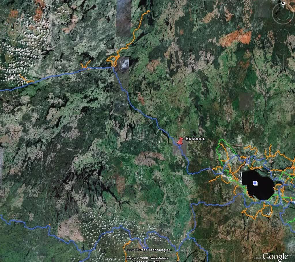
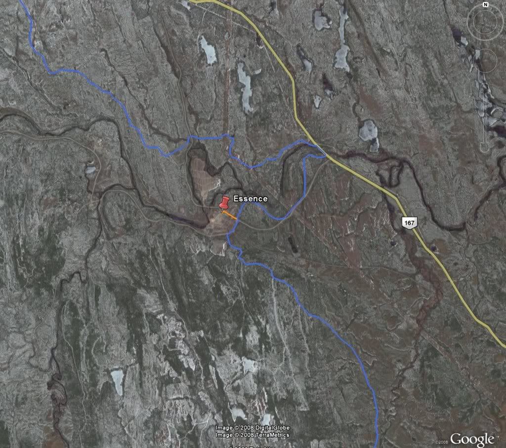
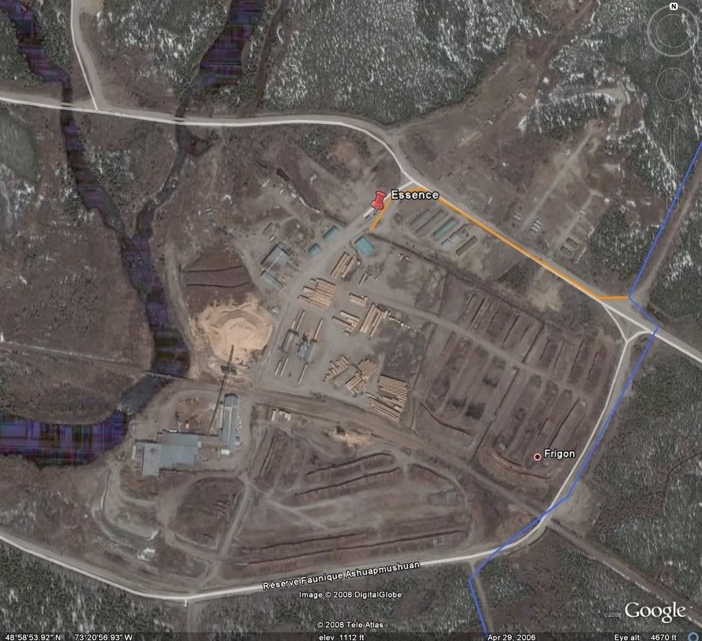
These are form Google Earth.
-
I have been using a garmin 276c for two years and I like it a lot.
It has a bright clear screen. Its nice if you are out on the trail when the sun goes down. I have had no too cold issues with it.
I bought the auto navigation kit ( 010-10510-00) which has detailed street maps for North America, power adapter, mounts and memory.
I bought the trail software from gpsquebec.ca. I can plan my trips turn by turn and don't have to worry about looking for signs as much (especially at night). I mostly saddlebag and it can be frustrating at intersections with no signs (especially at night).
Good luck with your purchase.
-
Has anyone traveled through here?
-
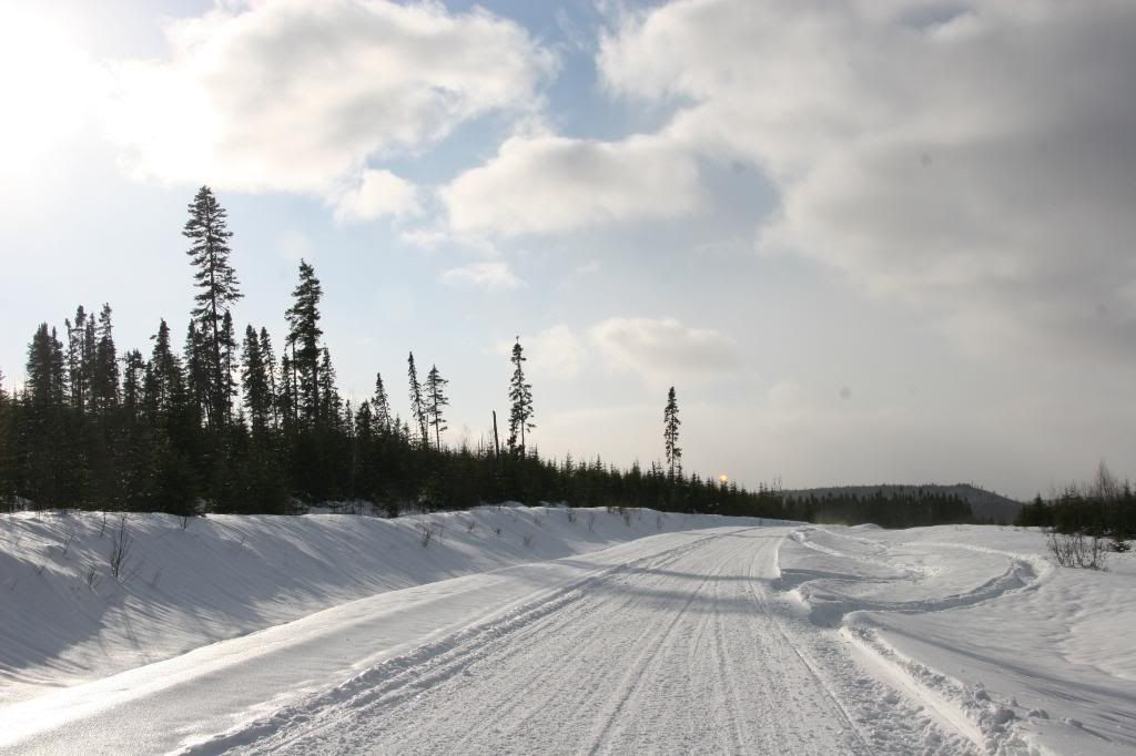
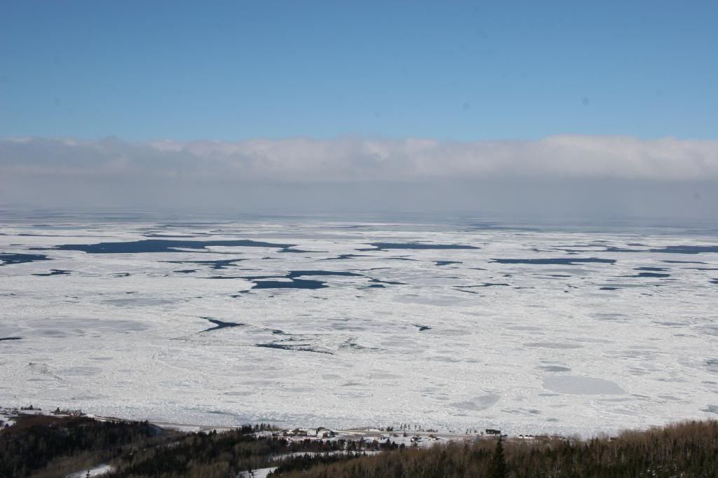
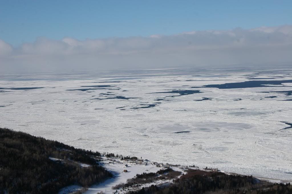
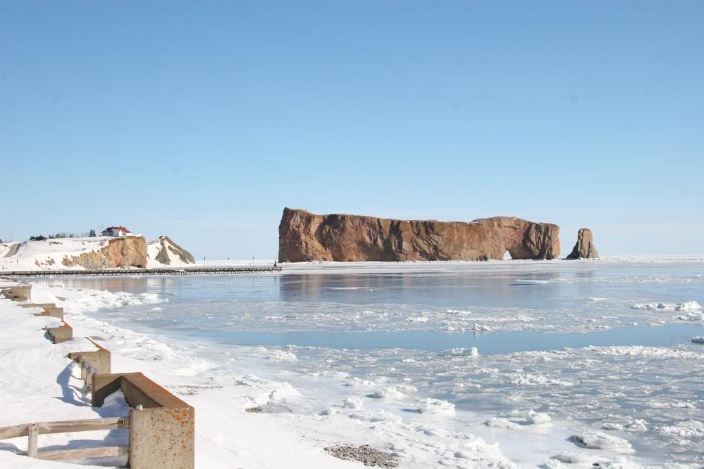
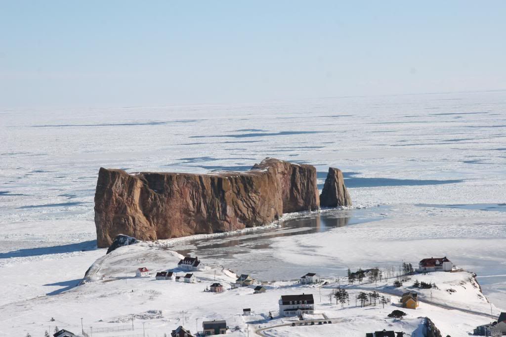
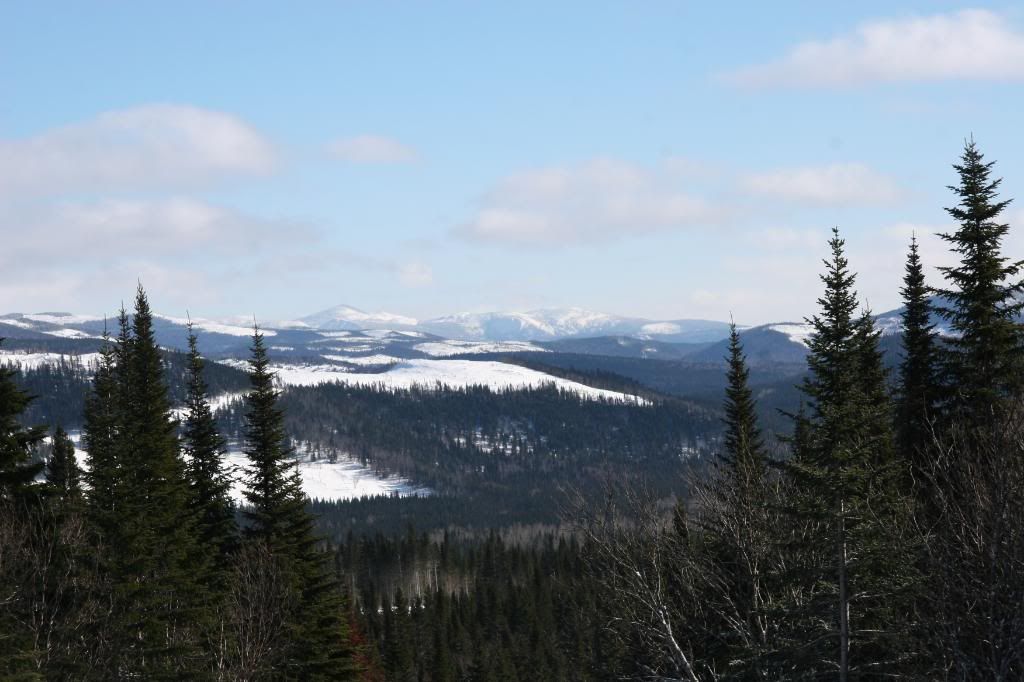
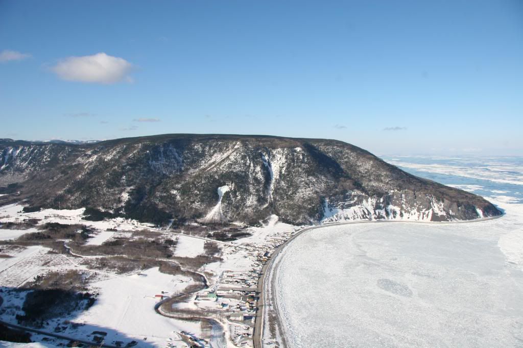
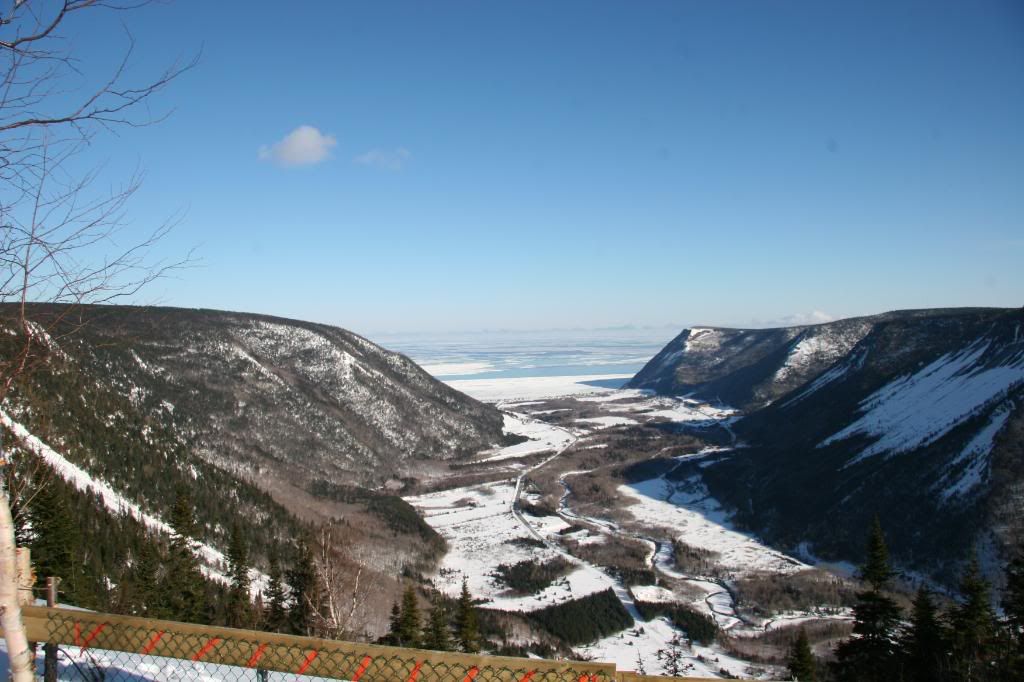
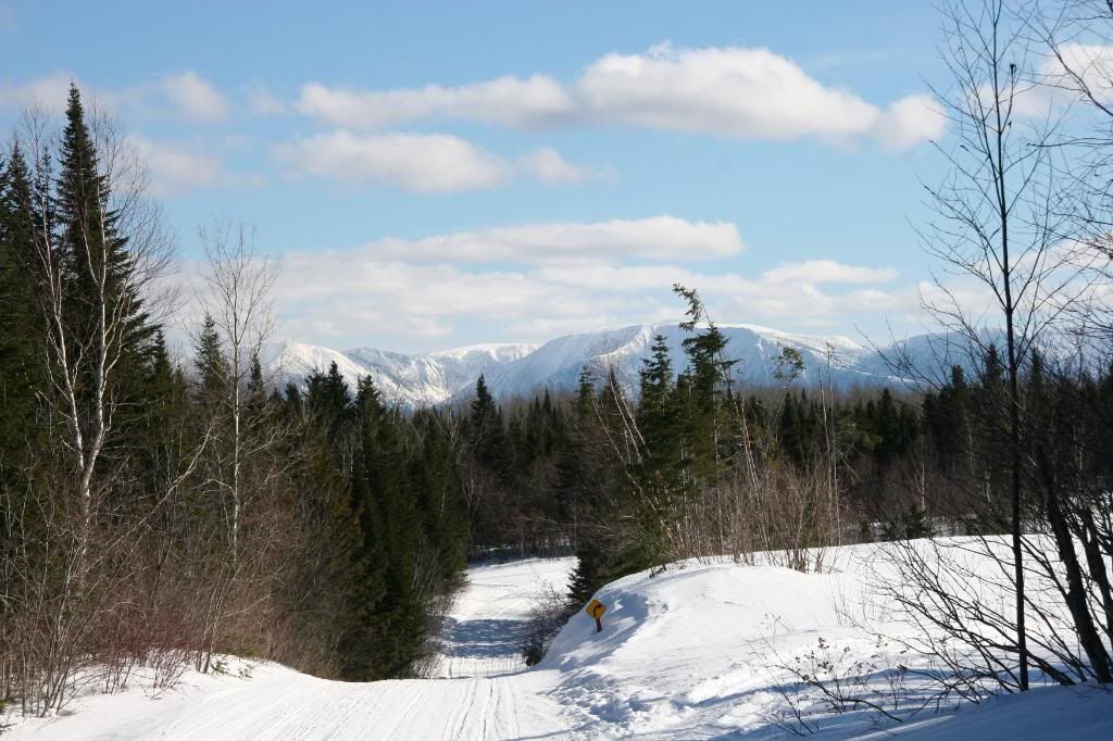
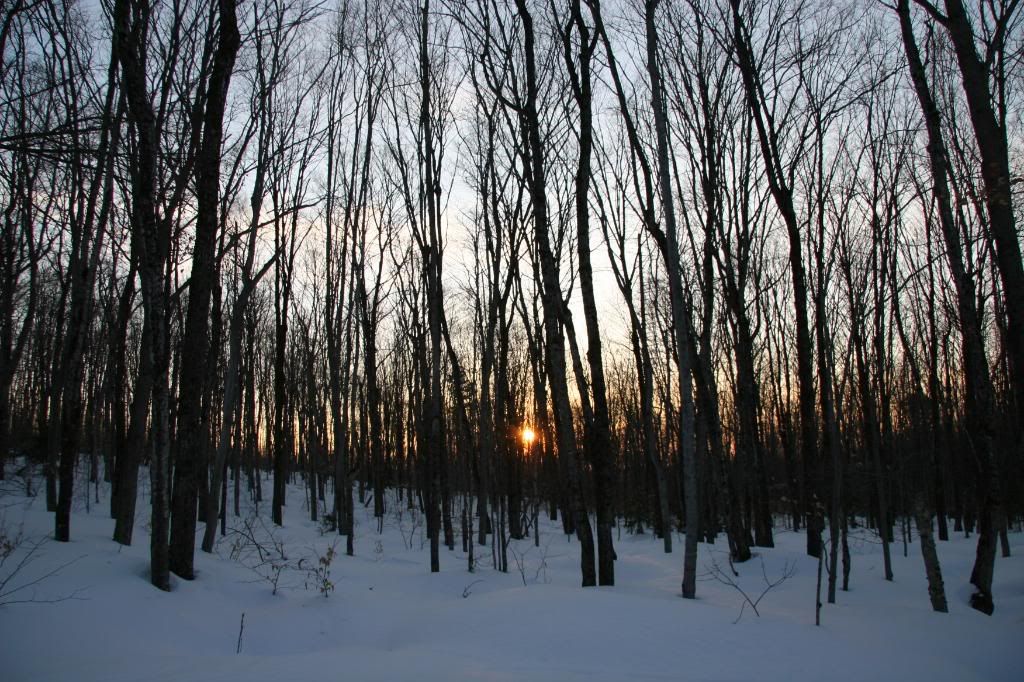
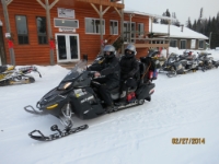
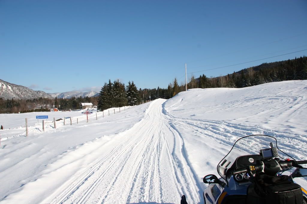
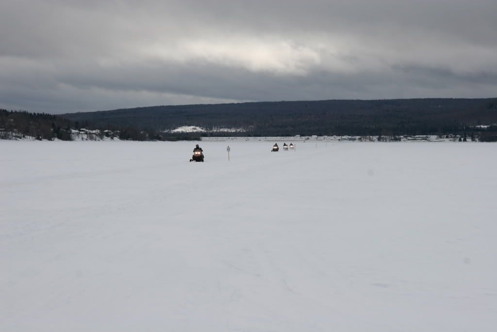
Had a great trip in Feb. A lot of beautiful scenery.
-
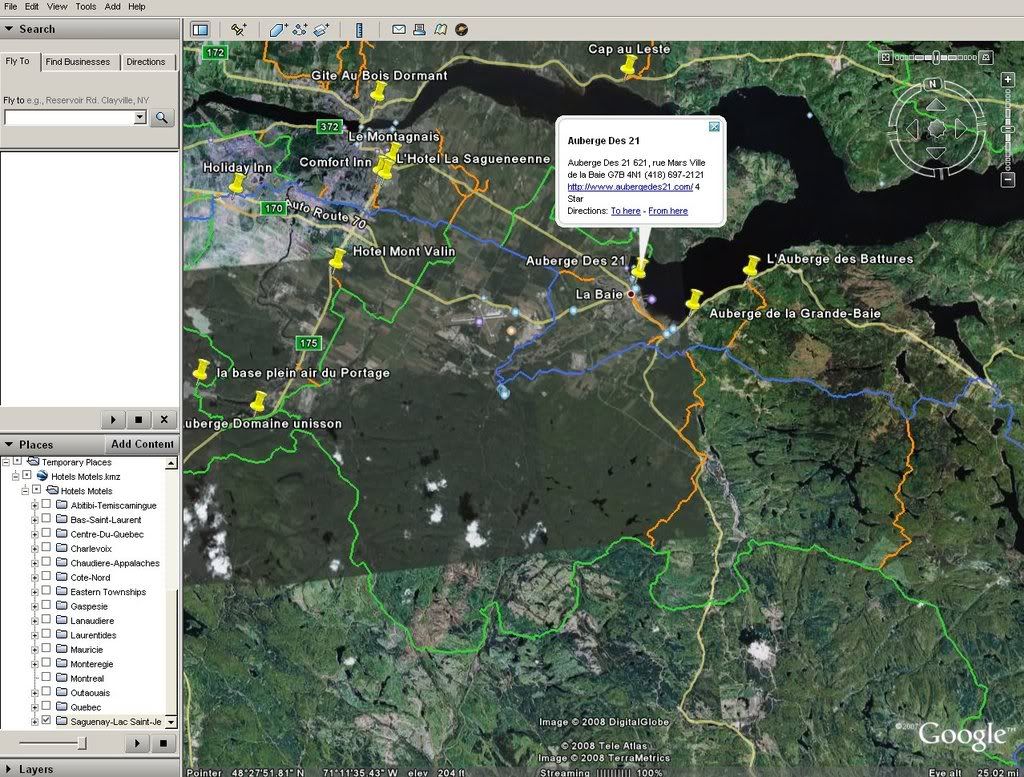
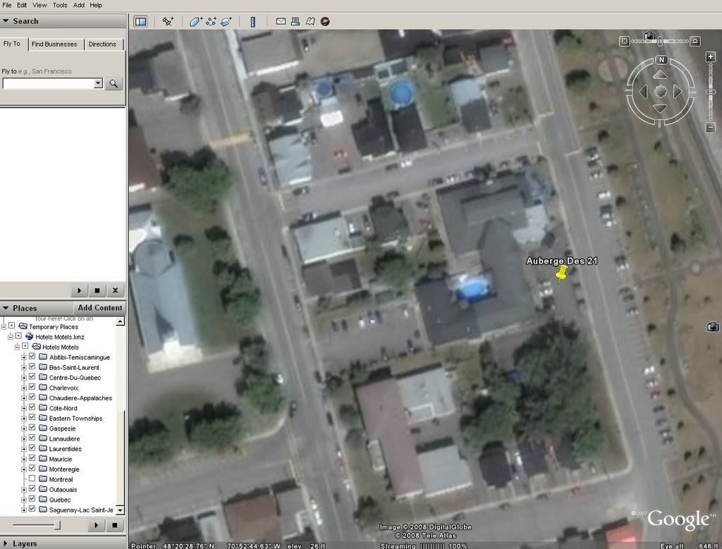
The list I have compiled is from all the regions' maps and FCMQ booklets. I made this two years ago. It shows the hotel address, phone number and web site. Click the yellow pin for this info. I can not guarantee the accuracy of every point as I have not been to every hotel.
Here is a screen shot of the list. The hotels are listed by region. FCMQ trails are shown.
Zoomed in Further.
-
What am I doing wrong I can't get it to load??
Thanks
Bob
First have google earth installed on your computer. Down load the file and double click on it. Google earth will start with the file contents shown. If you like you can save it as it will be in a temporary folder.
-
I put together a list of hotels via google earth with the phone numbers and address linked. If you view it with the FCMQ google earth trail map it makes planing a little easer. http://www.mediafire.com/?tylneyb2xzi It may help with your guide.
-
i have ridden thousands upon thousands of miles in quebec and for the life of me i can't see the need for studs.all they do is tear up the trail and cause a safety hazard.now if i were a lake racer then maybe.just my 2 cents, but to me studs are a crutch.
The time I got half way up a steep mountain (around St-Donat) and started sliding backwards with my wife (2 up) convinced me they are worth while. That never happened again.
-
Awesome ride
 You really pile on the miles. My longest day is 270 (2 up) 495 sounds insane.
 -
Here is a kml file for google earth with many way points. I can not guarantee the accuracy of all the points so use them at your own discretion. Many have links and phone numbers attached. I hope you find them useful.
http://www.mediafire.com/?4dzmm9cxyzn
The file can be converted with gpsbabel for your unit.
-
Hi Groomer,
I just wanted to let you know I received my trail pass yesterday. I will be passing your way 2/19. Thanks again.
-
I will send a money order tomorrow for a season pass. I will travel TQ5 in February.
-
Groomer do you have a paypal address yet?
St. Lawrence
in General Discussion
Posted
These are the ferrys.
http://www.traversiers.gouv.qc.ca/fr/
I have not crossed at Sorel or 3 Rivers.
Good luck.