

revrnd
-
Posts
68 -
Joined
-
Last visited
Content Type
Profiles
Forums
Calendar
Posts posted by revrnd
-
-
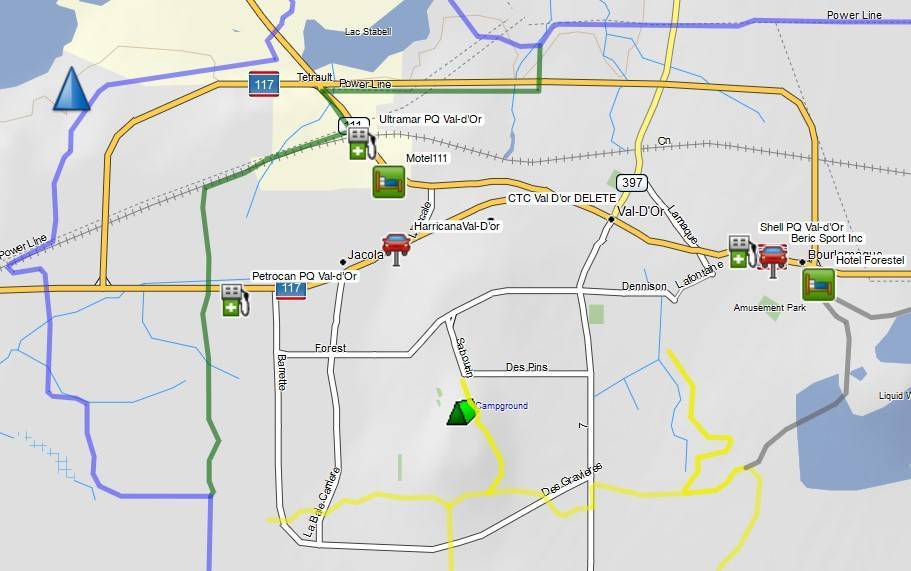
Playing around @ a possible trip to the area next winter. Curious to know how accessible gas stations are in Val-d'Or. I recall from our 2008 trip, getting fuel in Rouyn-Noranda wasn't fun. We'd be coming up RT309 from the Notre dame du Nord And then heading east), so there really aren't any 'rural' gas stops in the area along that route.
-
On 11/14/2023 at 9:41 PM, zrtkat said:
revrnd
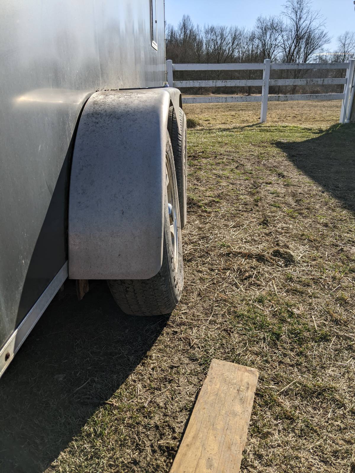
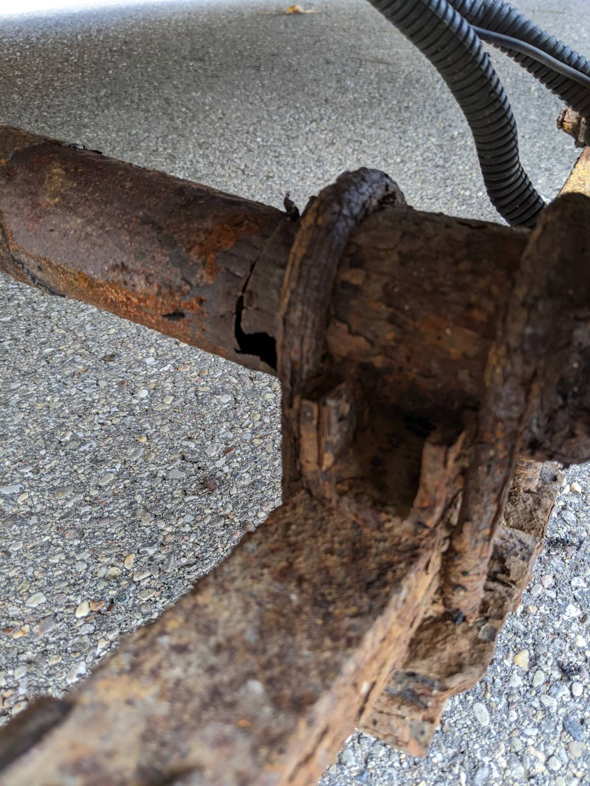
We never made it to Quebec last winter we had all our reservations,trail permits, we left I pulled out of my driveway looked in my mirror and my tire was leaning out on trailer further investigating found my trailer axle broke.
So I replaced both axles on trailer , electric brakes all set for this winter , we got 2 new sleds ordered hopefully coming in before the early permit deadline.
We got rid of the heavy 4 strokes turbos they where too much for me to handle any more .
It was good hearing from you have not seen any activity on Ontario conditions from you.
Greg

☹️
-
On 1/2/2024 at 6:09 PM, smclelan said:
It does not look like the Quebec ATV Association recognizes Polaris Ride Command, hard to say how snowmobile/ATV mapping will be shared in the future. Could end up being only who the Federations decide to partner with.
The OFSC shuts down the online version of the ITG at the end of the season. I'm not sure about the app. There is some grumbling from trip planners, but the thought is it keeps ATVs exploring trails on private property.
-
-
-
17 minutes ago, zrtkat said:
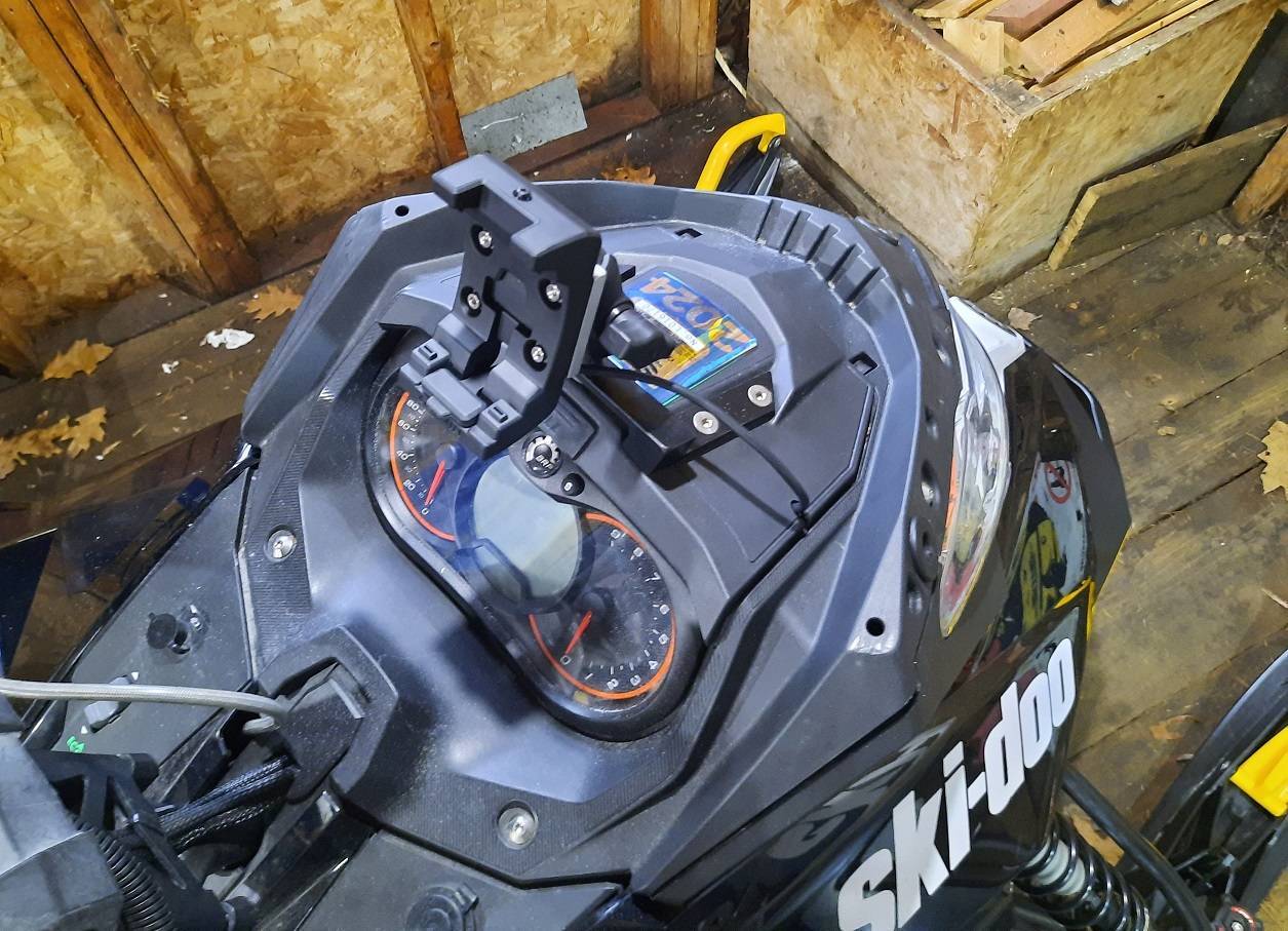
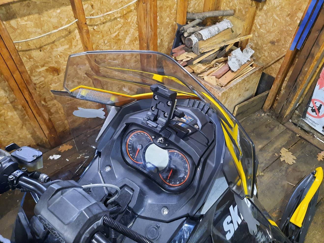
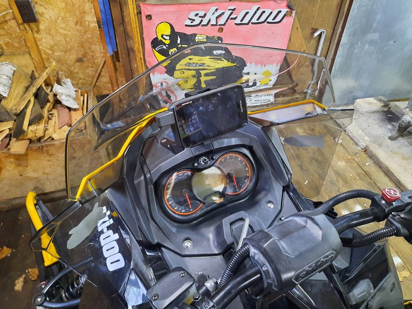
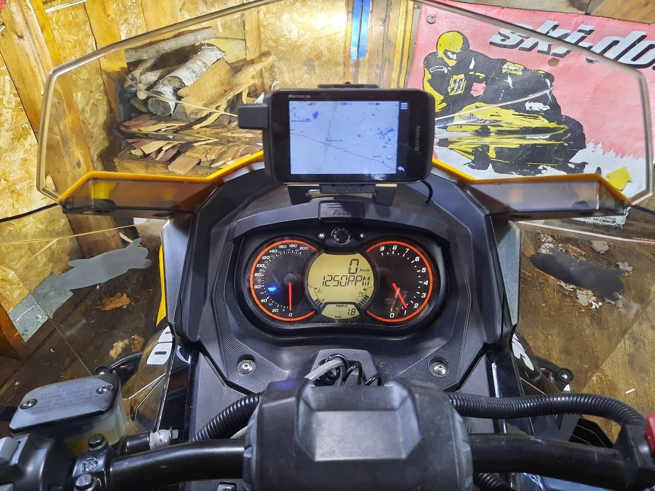
Looks good revrnd 👍 I am m trying to find a way to mount mine on the catalyst problem is there is no room above the Gauge.
Thanks (I couldn't react to your post). I guess had I wanted to I could've attached the cradle to the handlebar. Denis has a Montana 700i on his current sled & I saw it when we were riding w/ him last season. That was the motivation for the upgrade.
Hope you guys are doing well!
-
In light of the OFSC's decision to not support the Ontario version of TrakMaps there has been a lot of teeth gnashing online. There is still the GoSnowmobiling & BRP Go apps. I'm curious how the FCMQ handles the PQ version TrakMaps, the iMotoneige and BRP Go apps.
I'm not really sure what percentage of Ontario riders use electronic maps, nor how that is split GPS vs cellular based app. I'm only familiar with the A-T region, so I can't say how much of your system isn't covered by cell service. I'm sure in those areas, the GPS is the way to go.
Looking forward to your thoughts.
In my case, I record my trips w/ my GPS, but I don't 'depend' on it for navigation.
-
-
On 2/17/2023 at 11:07 PM, zrtkat said:
Thanks plc
Will keep u posted on trip
Zrtkat
Did you post a thread from last winter's trip?
-
I'm glad someone has asked about this crossing. In 2008 when we staged in New Liskeard, we followed the A107Q stake line 'towards' Notre Dame du Nord, only to lose it once we got close to the Quebec side. We eventually found the trail off the lake & into the village. In talking to a friend that has ridden quite a bit in Quebec, he told me of his crossing a few years later. He was following the A108Q from the north & when the trail came down onto the Blanche River it was VERY close to open water. Needless to say he wasn't impressed.
Has anyone had any issues like these in recent years?
-
4 hours ago, Signfan said:
Swisha north gets pretty remote on 386. 160 km seeing nothing but lakes and the odd hunting outfitter that's closed for the winter. It's 200 km from Swisha to Temiscaming. Haven't made the trip yet, but heading east from Val D'or towards Clova also looks to be quite remote.
I've noticed that on the FCMQ map. I think Parent is in the middle of nowhere too. Makes the stretches we run in northern Ontario look suburban LOL.
2 hours ago, PISTON LAKE CRUISER said:Hi Revrnd. Glad to see you have posting here. Signfan is right. The trip from Swisha ( Rapides des Joachims) up43 and 386 to La Verendrye is remote and not near as many sleds as Cochrane to La Reine used to see. Even from Verendrye on up to to the top of the reserve is pretty remote although better trail and more sleds. Louvicourt east of Val D'or to Lac St. Jean is very remote most of the way and not highly travelled. They would be the most remote that I have been on in Quebec but I'm sure there are more.
Thanks. I had just popped over to the A-T sub-forum to see if there was any activity. I don't post much here as I haven't much recent to add. I'm pretty active over on the Ontario portion of DooTalk.
2 hours ago, zrtkat said:Revrnd I remember riding the A105q I remember lots of straight trails and nothing around for Miles it was a great trail miss it when they closed it . It made a nice loop .
Zrtkat and Crew
👍 If it hadn't been open back then I doubt we would've made the trip. I think people from southern Ontario are more likely to ride that region if they can ride in @ 1 location & out another.. Too bad that the A110Q doesn't seem to hold a lot of importance. It's like neither federation wants the other's riders to visit the other province. Mind you when I rode B101Q back in 2020 to the Ottawa River both sides were well groomed.
-
In 2008 we took our only foray into Quebec. We staged @ New Liskeard, rode across Lake Temiscaming to Notre-Dame-du-Nord then up to Amos via Rouyn-Noranda. The next day we headed west & arrived in Cochrane. I know from reports on DT, QR & elsewhere plus talking to other riders that there are more remote sections of trail in Quebec, but in a way the stretch from La Reine to Low Bush River felt like the most isolated ride I had been on. Over the years I've ridden thru Hornepayne, Longlac & Manitouwadge (even doing the Greenstone Loop).
I guess part of it knowing that there isn't much in that area near Abitibi adds to it.
Did anyone here make the trip across A105Q before it was closed & what would you say is the most riding location that you've done in Quebec? -
On 1/6/2020 at 2:58 PM, snowmaster2112 said:
The two most popular snowmobile destinations in those areas are the Hotel Forestel in Valdor and the Amosphere in Amos. Both have other options as well but those two seem to be the hot spots.
Not much help in recent times, but we stayed at the Amosphere back in '08. No complaints back then.
-
-
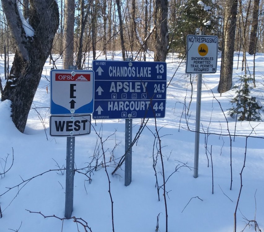
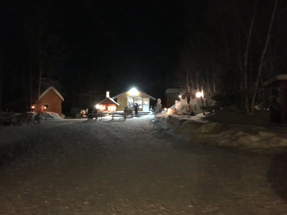
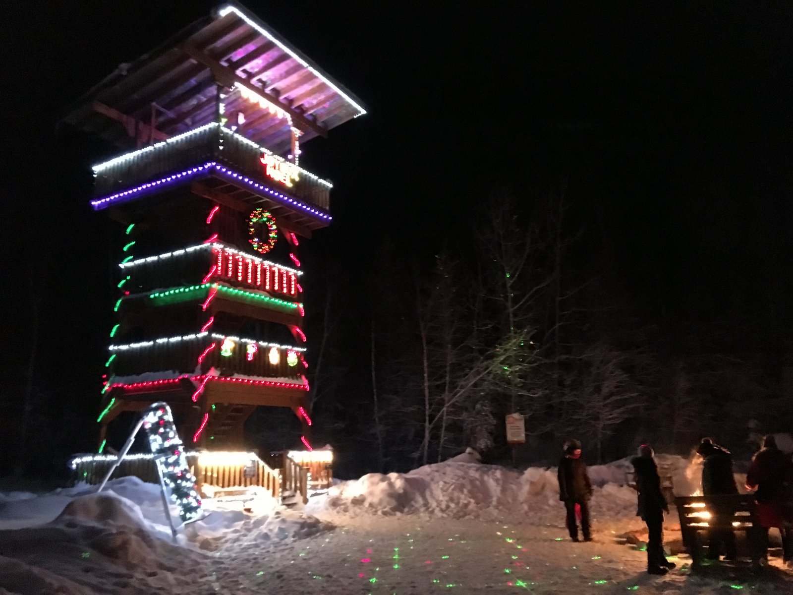
Out on TOP E in District 2 near the eastern portion of the Paudash Trail Blazers club today. Spotted this decal LOL
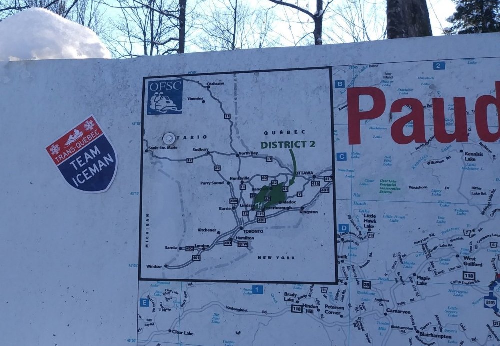
A long way from PQ:
- Florida Snowman, iceman, MrGutz and 2 others
-
 5
5
-
17 hours ago, snowmaster2112 said:
Probably use it during the moose hunt LOL

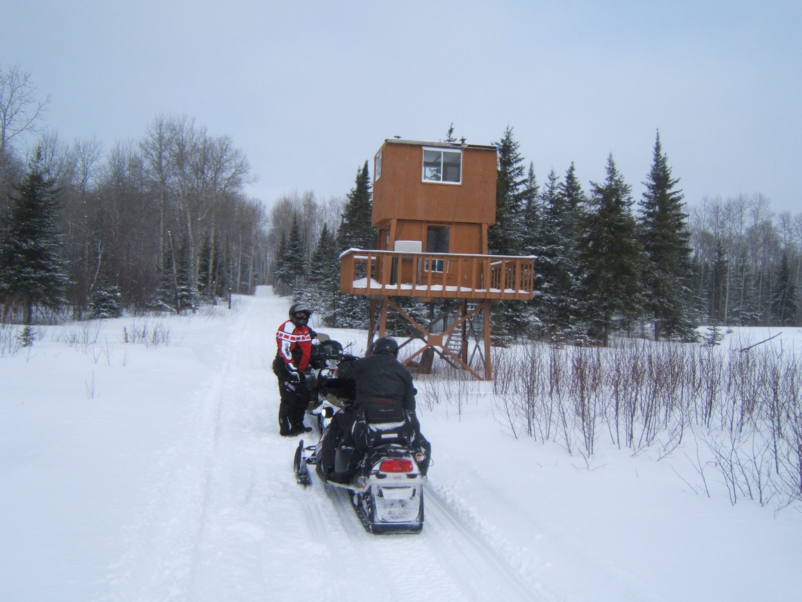
Beside TQ83 north of Cloutier
-
18 hours ago, snowmaster2112 said:
They had playground areas for the kids and people were doing what most Quebecers do in the winter.....embrace it

Whereas in southern Ontario they just gripe about it...
Great travelogue. Rode thru the Amos area about 10 years ago.
-
Summer of '18 I was camping @ Esker Lakes Provincial Park east of Kirkland Lake. Did a daytrip to Rouyn-Noranda, La Sarre & La Reine. Couldn't believe all the farms (lots of hay being cut). I checked out the bridge and the FCMQ still has signage on the railbed.
Very eerie feeling riding along north of Lake Abitibi. From looking @ the maps over the years, you know you're in the middle of nowhere.
Glad to have been able to ride the trail. File that along w/ riding from Longlac thru Manitouwadge to TOP D about 10 years ago before District 16 was folded.
-

I'll have to check my photos from our trip thru there.
-
57 minutes ago, momojohnny said:
No, hasent been open in 2 yrs. Dont think it ever will be, from what ive read. Was in the neighborhood 3 weeks ago checking it out .......
 Next yr Im going to Wawa .
.thumb.jpg.487448be4413f1621a748ad18745489a.jpg)
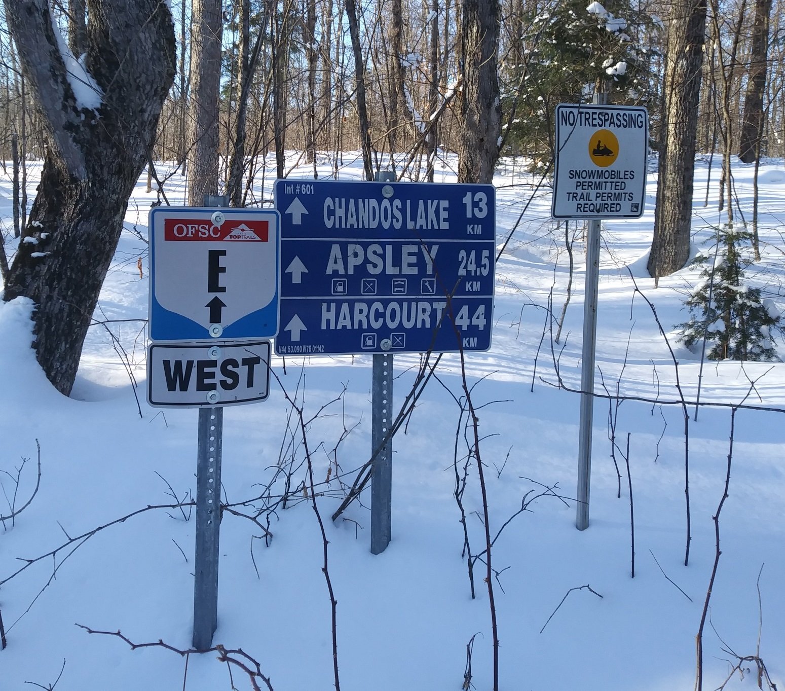
Where is that intersection?
-
On 2018-04-14 at 4:42 PM, 182ray said:
Yes back in ‘10 & ‘ 11 but haven’t been that way recently
I'm not sure, but I think this winter was the 2nd that A105Q was closed. I will have to check my maps.
Looking @ the maps & it was shown on the 2017 version of the Ontario Trail Guide. I'm pretty sure the closure was announced before the start of the 16/17 season.
-
This is kind of a question pertaining to past use when A105Q was open between La Reine & Cochrane. Over the years there was quite a bit of discussion from Ontario sledders using this trail to complete a loop. Our own group used A105Q to return to Ontario after two days of riding in Quebec. We had entered the province @ Notre Dame du Nord.
Did any of you ever use the A105Q as part of a loop while snowmobiling in the Abitibi-Temiscaming & northeastern Ontario regions?
-
Just bumping this in case anyone is interested. I got an email today about a Quebec database, since my Ontario list is quite popular.
-
A fellow sledder asked me if I was still looking after a couple of Excel spreadsheets with lodging & mileage listings for Quebec. I said no that my Ontario databases http://www.sleddersworld.com/departments/ontarioDB/ kept me busy enough.
If there is anyone out there that would be interested in looking after these spreadsheets, please PM me your email address and I'll pass them along. The lodging spreadsheet lists over 800 businesses.


.jpg.92faebbad7f85f2661f30d362fea2a64.jpg)
Gas Access in Val-d'Or
in Abitibi-Temiscamingue
Posted
Val-d'Or is an intermediate stop.